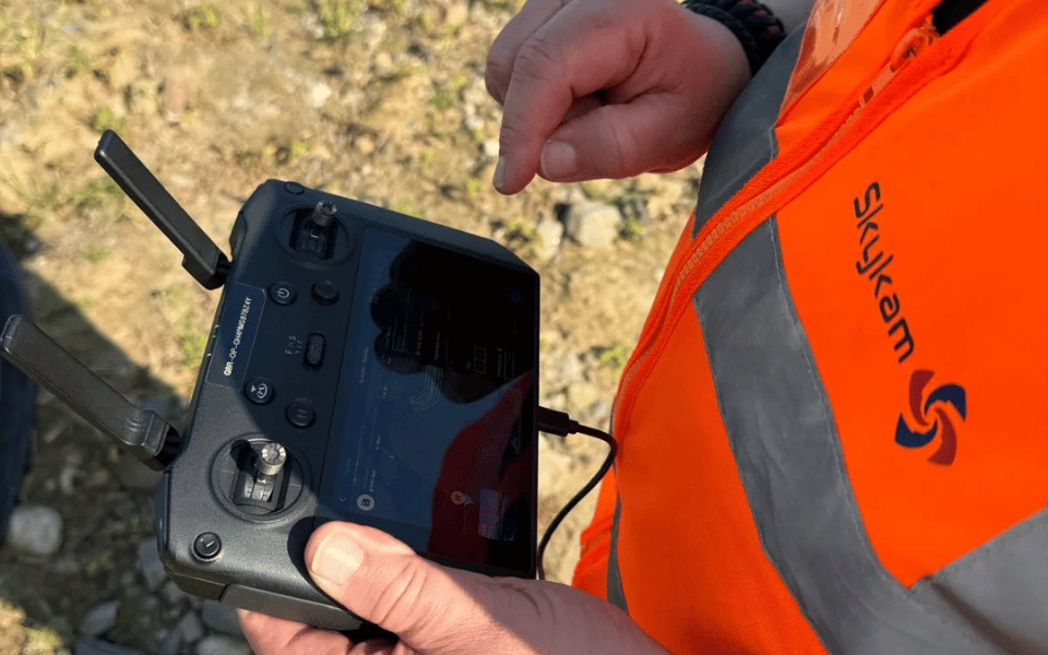

While drone surveys offer impressive aerial perspectives, you’ll encounter significant limitations when implementing them in your projects. Flight times rarely exceed 30 minutes, weather conditions frequently ground operations, and regulatory hurdles create persistent headaches.
The substantial investment in equipment and training might strain your budget more than anticipated. These technological constraints can ultimately compromise data quality and project timelines—and that’s just the beginning of the challenges you’ll face.

30 Second Summary
- Limited flight time of 15-30 minutes per battery restricts survey coverage and requires multiple flights for large properties.
- High initial costs for equipment, ongoing maintenance, software licenses, and operator certification impact profitability.
- Complex legal regulations including drone registration, no-fly zones, and data protection laws complicate survey operations.
- Safety risks include potential crashes, property damage, personal injuries, and liability issues requiring proper insurance.
- Drones lack tactile inspection capabilities, missing subtle deterioration signs that hands-on assessment would identify.

Limited Flight Time Restricts Survey Coverage
Although drone technology has revolutionized land surveying, its limited flight time presents a significant challenge for professionals in the field. You’ll quickly discover that most commercial drones can only remain airborne for 15-30 minutes per battery, severely restricting the area you can cover in a single flight.
This limitation means you’re forced to conduct multiple flights to survey large properties, dramatically increasing your overall project time. When you’re working against deadlines or billing by the hour, these interruptions hurt efficiency and profitability. Current battery technology hasn’t kept pace with other drone advancements, requiring you to carry multiple power sources for full-day operations.
Flight optimization becomes essential as you’ll need to carefully plan each drone path to maximize coverage within these tight time constraints, adding another layer of complexity to your surveying work.

Weather Dependency Creates Scheduling Challenges
Beyond battery limitations, weather conditions represent another major constraint on drone operations. Your drone surveying plans can be quickly derailed when winds exceed 40km/hr or rain begins to fall, as these aircraft are highly vulnerable to environmental factors.
In the UK particularly, you’ll face frequent disruptions due to notoriously unpredictable weather patterns. This dependency forces you to build significant buffers into project timelines, often leading to costly delays and rescheduling. Weather forecasting becomes a critical component of your planning process, requiring constant monitoring and last-minute decision-making.
Seasonal variations further complicate matters, with winter months typically offering fewer viable flying windows. You’ll need to adapt your survey strategy to account for these limitations, sometimes extending projects over longer periods than initially anticipated.

High Initial and Ongoing Costs Impact Affordability
Despite the technological advantages, the financial barriers to drone surveying remain significant. You’ll face a substantial initial investment of thousands of pounds for a properly equipped drone with necessary cameras and sensors.
This upfront cost is just the beginning of your financial commitment. Ongoing maintenance expenses add up quickly through accessories, software licenses, repairs, and part replacements. As technology evolves, you’ll need regular software updates to maintain optimal functionality.
Don’t overlook the human element in your budget planning. Professional certification for operators represents another significant expense, and this isn’t a one-time cost. Your team will require continuous training to stay current with regulations and technology advancements. These combined expenses can make drone surveying prohibitively expensive for smaller organizations or projects with limited budgets.

Legal Requirements and Regulatory Restrictions Limit Operations
When navigating the drone surveying landscape, you’ll quickly encounter a complex web of legal requirements that can severely restrict your operational capabilities. The regulatory framework imposed by authorities like the UK’s Civil Aviation Authority creates significant compliance challenges for surveyors.
You’ll need to register your commercial drones, obtain proper licenses and permits, and constantly stay updated with changing regulations. These operational limitations become particularly frustrating when your project borders restricted zones such as airports, military installations, or densely populated areas.
Flying over crowds is prohibited, which can complicate urban surveying projects. No-fly zones are regularly updated, requiring you to perform thorough pre-flight checks before each survey. These restrictions, while necessary for public safety, create substantial barriers that impact your ability to complete drone surveys efficiently and comprehensively.

Privacy Concerns Create Legal Vulnerabilities
Privacy concerns inherent in drone surveying expose you to significant legal vulnerabilities that can compromise your projects and reputation. When operating drones in residential areas, you’re navigating a complex legal landscape where privacy implications extend beyond simple technical compliance.
The 50-meter minimum distance requirement from people, vehicles, and buildings creates substantial operational challenges. Even if you’re conducting legitimate surveys, neighboring properties within this cylindrical no-fly zone may claim privacy violations if they believe your drone captured their private property. These legal liabilities can lead to complaints, lawsuits, or regulatory penalties.
If you don’t have explicit permission from all potentially affected parties, you’re taking significant risks. Remember that privacy laws can vary by jurisdiction, further complicating your compliance efforts and increasing your exposure to legal challenges.

Technical Limitations Affect Data Quality
Although drones capture impressive aerial imagery, technical limitations significantly compromise data quality and reliability. You’ll find weather conditions like wind, rain, and extreme temperatures directly impact sensor calibration, leading to distorted measurements and imprecise modeling.
Signal interference from radio frequencies, electromagnetic fields, and physical obstacles creates gaps in data collection or transmission errors that undermine survey integrity. Line-of-sight issues further complicate accurate data capture, especially in dense urban environments or complex terrains.
While automated cloud solutions offer convenience, they often sacrifice accuracy for simplicity. These platforms typically lack the customization options needed for specialized survey requirements. The reality is you’re constantly navigating a trade-off between workflow efficiency and data precision when conducting drone surveys—a challenge that requires thoughtful consideration of your specific project needs.

Terrain and Accessibility Challenges Complicate Operations
Dense vegetation and complex urban landscapes create significant barriers for effective drone operations, forcing you to make difficult operational compromises. When buildings, trees, and other structures obstruct your drone’s view, you’ll struggle to capture comprehensive data regardless of your terrain navigation expertise.
Remote or mountainous areas present even greater challenges. You’ll face steep inclines that not only make equipment transport laborious but also compromise flight stability and image accuracy. These inaccessible environments often require specialized accessibility solutions that increase project costs and timeframes.
Before committing to drone surveying, you must carefully evaluate site conditions. What appears straightforward on maps may present unexpected obstacles in reality, potentially rendering your drone survey ineffective or requiring additional flights to achieve adequate coverage.

Safety Risks and Accident Potential Create Liability
Despite careful operation, you’ll face inherent accident risks when deploying drones for surveys, creating significant liability concerns. Crashes and malfunctions happen even with experienced pilots, potentially damaging property or injuring bystanders. These incidents trigger liability issues that can lead to costly legal battles.
Your drone might also pose threats to wildlife, particularly birds. Collisions with animals add another layer of potential liability that you need to consider before launching your equipment.
Proper liability insurance is essential to protect yourself from financial consequences of accidents. You’ll also need to follow strict accident reporting procedures when incidents occur. Even minor mishaps require documentation to comply with regulations and insurance requirements.
These safety challenges represent a substantial disadvantage when weighing the benefits of drone survey methods against traditional alternatives.

Data Security Vulnerabilities Expose Sensitive Information
When you collect data using drones, you’re creating a treasure trove of information that’s vulnerable to interception and theft. Without robust protection measures, your aerial surveys become easy targets for hackers seeking valuable intelligence.
Implementing proper data encryption is essential but often overlooked by drone operators eager to reduce costs. Your clients’ sensitive site information, including infrastructure details or proprietary layouts, could be compromised if intercepted during transmission or storage.
Additionally, weak access controls frequently plague drone survey operations, allowing unauthorized personnel to view or manipulate collected data. Each person with access represents a potential security breach point. Remember that your liability extends beyond physical drone operation—you’re equally responsible for protecting the digital assets you collect for clients.

Limited Detail Detection Compromises Survey Quality
While drones excel at providing broad aerial perspectives, they fundamentally lack the tactile capabilities that manual inspections offer. You’ll find significant detection limitations when surveying buildings, particularly historic or listed structures where subtle deterioration signs matter most. Drones simply cannot identify loose stonework or rendering unless it’s visibly displaced from its position.
The inspection accuracy suffers considerably when you’re unable to physically touch surfaces or examine them from centimeters away. What might appear intact in drone footage could actually be severely compromised structurally. This shortcoming proves especially problematic during condition surveys where determining the stability of building elements is crucial. Without hands-on assessment, you’re missing critical information that could affect safety evaluations and restoration planning, potentially leading to incomplete or misleading survey results.
Conclusion
You’re facing significant challenges with drone surveys despite their technological advantages. You’ll need to weigh limited flight times, weather constraints, and high costs against potential benefits. Don’t overlook regulatory hurdles, privacy issues, and safety concerns that could impact your operations. Remember that terrain limitations, data security risks, and detail detection issues might compromise your survey’s overall quality and reliability.
